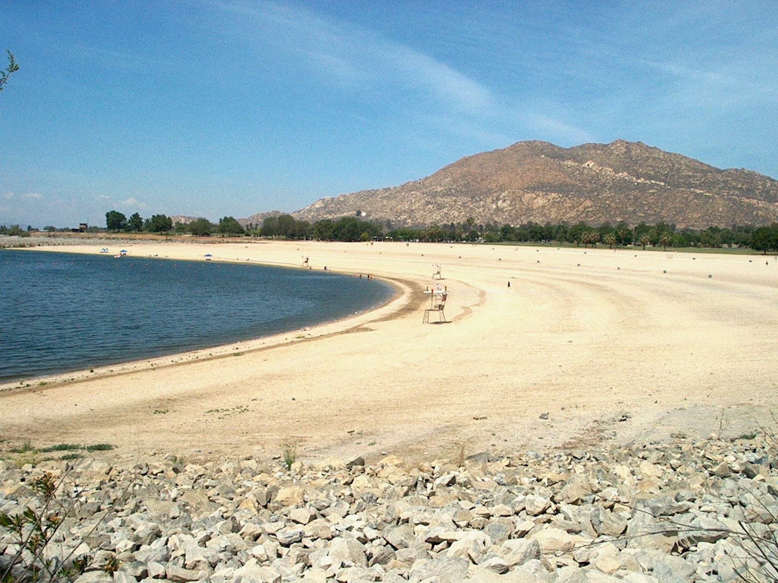
Lake Perris State Recreation Area, a regional lake destination near Moreno Valley.

Outdoors

Boating and kayaking near Moreno Valley

Lakes, reservoirs and rivers near Moreno Valley for boating, kayaking, canoeing and paddleboarding.

12places to boat and paddle
20 mito the closest
10within 30 miles
September–Junebest months

Good to know: Life jackets are required for children on most waters, and many lakes require an invasive-species inspection or a launch fee.

Closest picks

1

Dogwood

20 mi north · USDA Forest Service

Dogwood Campground is a family-friendly facility located in the heart of the San Bernardino National Forest. All sites must be reserved to enjoy the area's scenic surroundings and plentiful recreational opportunities.
2

Green Valley

23 mi northeast · USDA Forest Service

Green Valley Campground is located near Arrowbear in the San Bernardino National Forest in Southern California.

3

North Shore (Ca)

23 mi north · USDA Forest Service

North Shore Campground is a quiet place to camp, away from the hustle and bustle of nearby cities.

Map of all 12 places

Map of 12 places loads as you scroll.

Within 30 miles (10)

20 mi north · USDA Forest Service · Campground

Dogwood

Dogwood Campground is a family-friendly facility located in the heart of the San Bernardino National Forest. All sites must be reserved to enjoy the area's scenic surroundings and plentiful recreational opportunities.

  • Boating
  • Camping
  • Fishing

23 mi northeast · USDA Forest Service · Campground

Green Valley

Green Valley Campground is located near Arrowbear in the San Bernardino National Forest in Southern California.

  • Boating
  • Camping
  • Fishing
  • Hiking
  • Swimming

23 mi north · USDA Forest Service · Campground

North Shore (Ca)

North Shore Campground is a quiet place to camp, away from the hustle and bustle of nearby cities.

  • Boating
  • Camping
  • Fishing
  • Hiking

23 mi north · USDA Forest Service · Campground

Tent Peg Group

Tent Peg Group Campground offers a semi-primitive location for an extended family or large group outing. The area provides easy access to many off-road vehicle trails.

  • Biking
  • Boating
  • Camping
  • Fishing
  • Hiking
  • Swimming
  • Wildlife viewing
  • Winter sports

24 mi northeast · USDA Forest Service · Campground

Bluff Mesa Group Camp

Bluff Mesa Group Campground is conveniently located for campers to enjoy all the beautiful Big Bear Lake area has to offer. A variety of trailheads are nearby, leading visitors through the scenic forest that surrounds the campground.

  • Biking
  • Boating
  • Camping
  • Climbing
  • Fishing
  • Hiking
  • Swimming
  • Wildlife viewing

24 mi north · USDA Forest Service · Campground

Crab Flats

Crab Flats Campground is an off-roaders paradise, with plenty of off-road vehicle trails nearby for both beginner and experienced riders.

  • Biking
  • Boating
  • Camping
  • Fishing
  • Hiking
  • Swimming
  • Wildlife viewing
  • Winter sports

24 mi west · US Army Corps of Engineers

Prado Dam

This San Bernardino County Parks managed area is an oasis within one of the fastest growing areas of Southern California. Riverside County and the City of Corona also provide recreation facilities.

  • Boating
  • Camping
  • Horseback riding
  • Picnicking
  • Water sports
  • Wildlife viewing

25 mi northeast · USDA Forest Service · Campground

Boulder Group Camp

Boulder Group Campground is a great place to bring an extended family or large group for a relaxing camping excursion.

  • Biking
  • Boating
  • Camping
  • Fishing
  • Hiking
  • Swimming
  • Water sports

26 mi northeast · USDA Forest Service · Campground

Barton Flats

The Barton Flats Campground provides a taste of just about everything the San Bernardino National Forest has to offer.

  • Biking
  • Boating
  • Camping
  • Fishing
  • Hiking
  • Ranger programs
  • Water sports

27 mi northeast · USDA Forest Service · Campground

Grays Peak Group Camp

Grays Peak Group Campground is conveniently located for campers to enjoy all that the Big Bear Lake area has to offer. Many trailheads are nearby, leading visitors through the scenic forest that surrounds the campground.

  • Biking
  • Boating
  • Camping
  • Fire Lookouts/Cabins Overnight
  • Fishing
  • Hiking
  • Ranger programs

30 to 75 miles (2)

44 mi west · US Army Corps of Engineers

Santa Fe Dam

Facilities at Santa Fe are operated by Los Angeles County Parks. Swimming, fishing, non-power boating, hiking and picnicking are available. Of interest are the five distinct biological communities within the area.

  • Boating
  • Fishing
  • Picnicking
  • Water sports
  • Wildlife viewing

48 mi west · US Army Corps of Engineers

Whittier Narrows Dam

This project is managed by Los Angeles County Parks and the City of Pico Rivera. Whittier Narrows has no permanent pool.

  • Biking
  • Boating
  • Horseback riding
  • Picnicking
  • Water sports
  • Wildlife viewing

Distances are straight-line miles from downtown Moreno Valley. Listings come from Recreation.gov’s federal recreation database; check each official page for hours, fees, fire restrictions and closures before you go.

Get outside around Moreno Valley

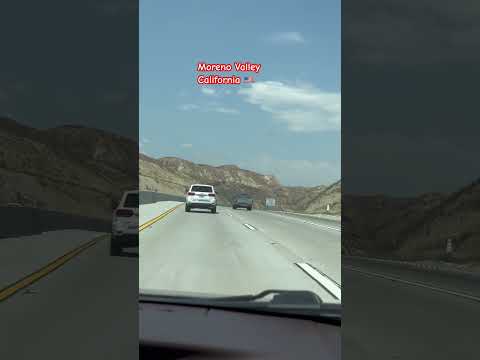
#walking #morenovalley #shorts video thumbnail

THINGS TO DO · YOUTUBE SHORT

#walking #morenovalley #shorts

An activity Short shared by Maria TV.

Watch on YouTube ↗

Around Moreno Valley

Moreno Valley Mall, Moreno Valley, California
Moreno Valley Mall, Moreno Valley, CaliforniaPhilipp Beckers · CC BY-SA 2.0
San Timoteo Badlands from Moreno Valley, California
San Timoteo Badlands from Moreno Valley, CaliforniaZ3lvs · CC0
Moreno Valley photograph by peter boy12qq12
Moreno Valley, CA, USApeter boy12qq12 · CC BY 3.0

More outdoors near Moreno Valley

Questions

Where is the closest place for boating & paddling near Moreno Valley?

Dogwood (USDA Forest Service), about 20 miles north of Moreno Valley as the crow flies. Next are Green Valley (23 mi) and North Shore (Ca) (23 mi).

When is the best time for boating & paddling near Moreno Valley?

Based on Moreno Valley’s average highs, September–June. Conditions at higher elevations can be much cooler.

Who manages these places?

Federal agencies including USDA Forest Service, US Army Corps of Engineers. Each listing links to its official page for hours, fees, closures and current conditions.

Moreno Valley AI

Your Moreno Valley local guide
Hey there!

I'm Moreno Valley AI. Ask about local food, independent shops, parks or a neighborhood visit.

AI recommendations may be inaccurate. Verify hours and prices. Questions are processed by Cloudflare. Privacy